The text below is a brief summary of a report titled “EXPLORATORY VOYAGE OF THE SHIPS RIJDER AND BUIS, COMMANDED BY LIEUTENANT JEAN ETIENNE GONZAL AND FIRST LAVIENNE LODEWIJK VAN ASSCHENS, TO THE GULF OF CARPENTARIA.” This report was submitted by Gerrit de Haan, the “Master Cartographer” at Batavia, on September 30, 1756, to a governing body or council.
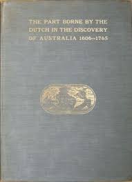
The full (original) report is published in1899, in a book titled: “Part borne by the Dutch in the discovery of Australia 1606-1765”, by J.E. Heeres, LL. D. Professor at the Dutch Colonial Institute Delft. It was published by the Royal Dutch Geographical Society in commemoration of the xxvth anniversary of its foundation.
With the assistance of the Project Gutenberg Australia an eBook was produced by: Colin Choat.
The report discusses an exploratory voyage undertaken by two ships, the Rijder and Buis, in 1756 to the Gulf of Carpentaria. Here are some key points taken from the e-book (see pdf below).
- The voyage began on February 8, 1756, when the two ships set sail together.
- On March 26, they encountered a violent storm off the Banda islands, causing them to separate. The ship Buis sought refuge in the port of Banda, while the ship Rijder continued its voyage.
- On April 10, the ship Rijder sighted the high land of Carpentaria and discovered an unknown island they named Rijders Eijland (now Booby Island).
- The crew explored the coast, contacted indigenous people, described their dwellings, and noted the local flora and fauna.
- The ship Rijder continued its exploration of the coast, and on May 24, they again sighted the land. They encountered native inhabitants who fled into the bush.
- On June 2, they contacted the natives, and there was an incident where they captured one of them. The natives appeared to live off the land’s resources.
- The ship Rijder eventually left the area on June 16 due to the advancing season and difficulty navigating the coast.
- The ship Buis, after separating from the Rijder, also explored the Gulf of Carpentaria and provided observations of the coast and the region.
- The report includes details about the wind, currents, depths, and other navigational information encountered during the voyage.
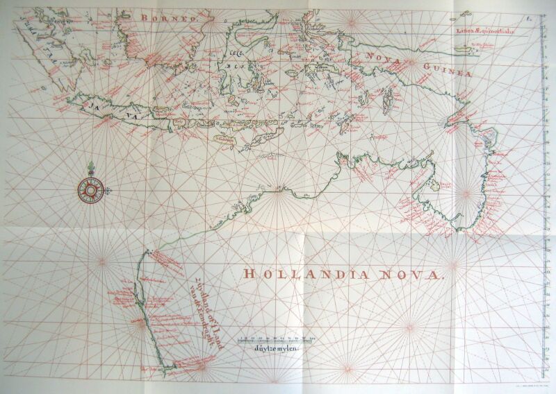
- It highlights the discrepancies between the actual observations made during the voyage and the information available on existing charts.
- It also questions the accuracy of the observations made by the first mate, Lavienne Lodewijk Aschens, who was in command of the ship Buis, suggesting that he may not have had a clear understanding of the areas he claimed to have seen.
The report provides valuable information about the exploratory voyage to the Gulf of Carpentaria and the challenges and discoveries made during the expedition. It also raises questions about the accuracy of some of the observations and charts used at the time.
Additionally, at the conclusion of the VOC exploration of Australia, it becomes evident that the VOC never developed a cohesive and strategic approach to the exploration of Australia and its surrounding waters.