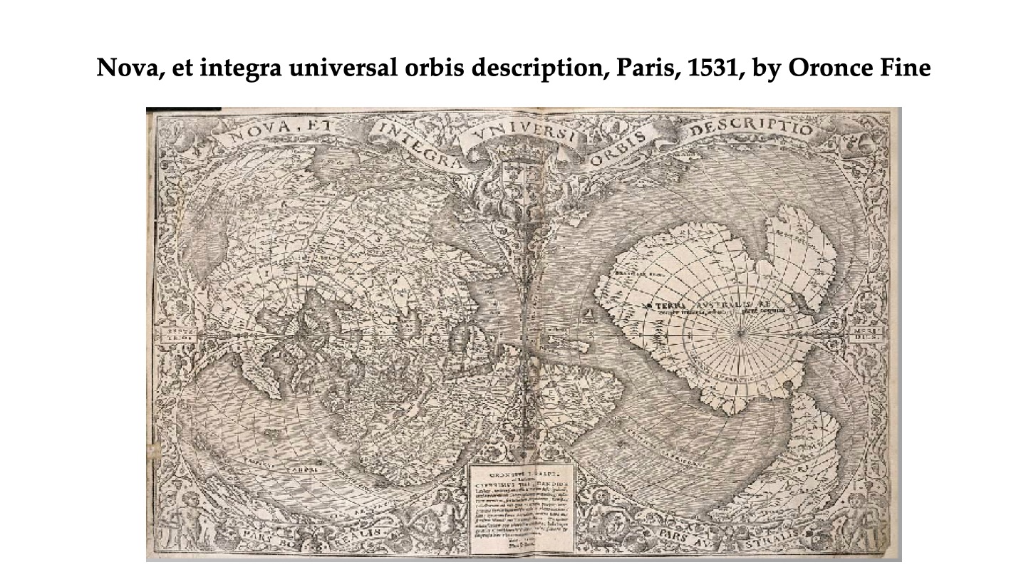
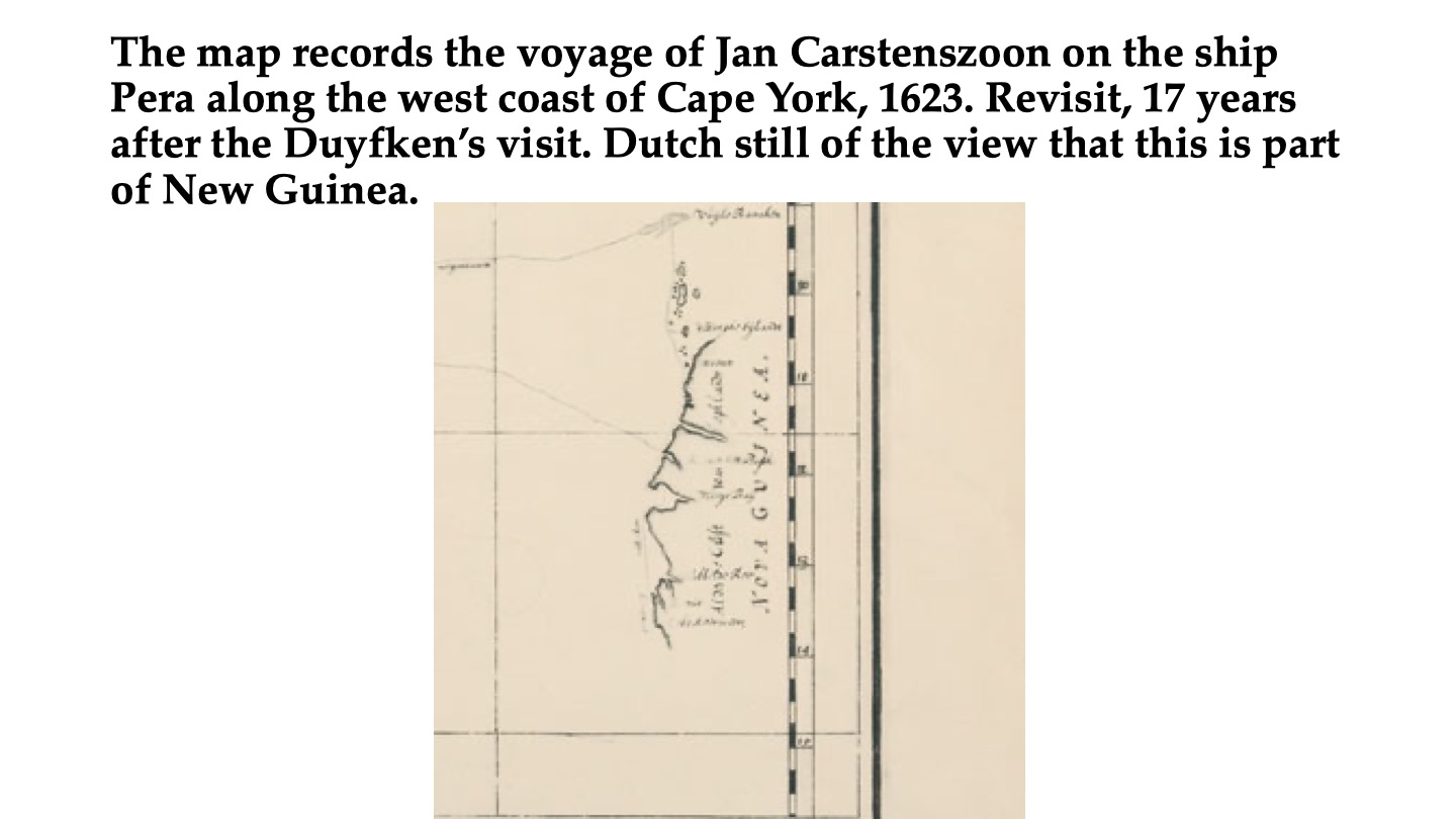
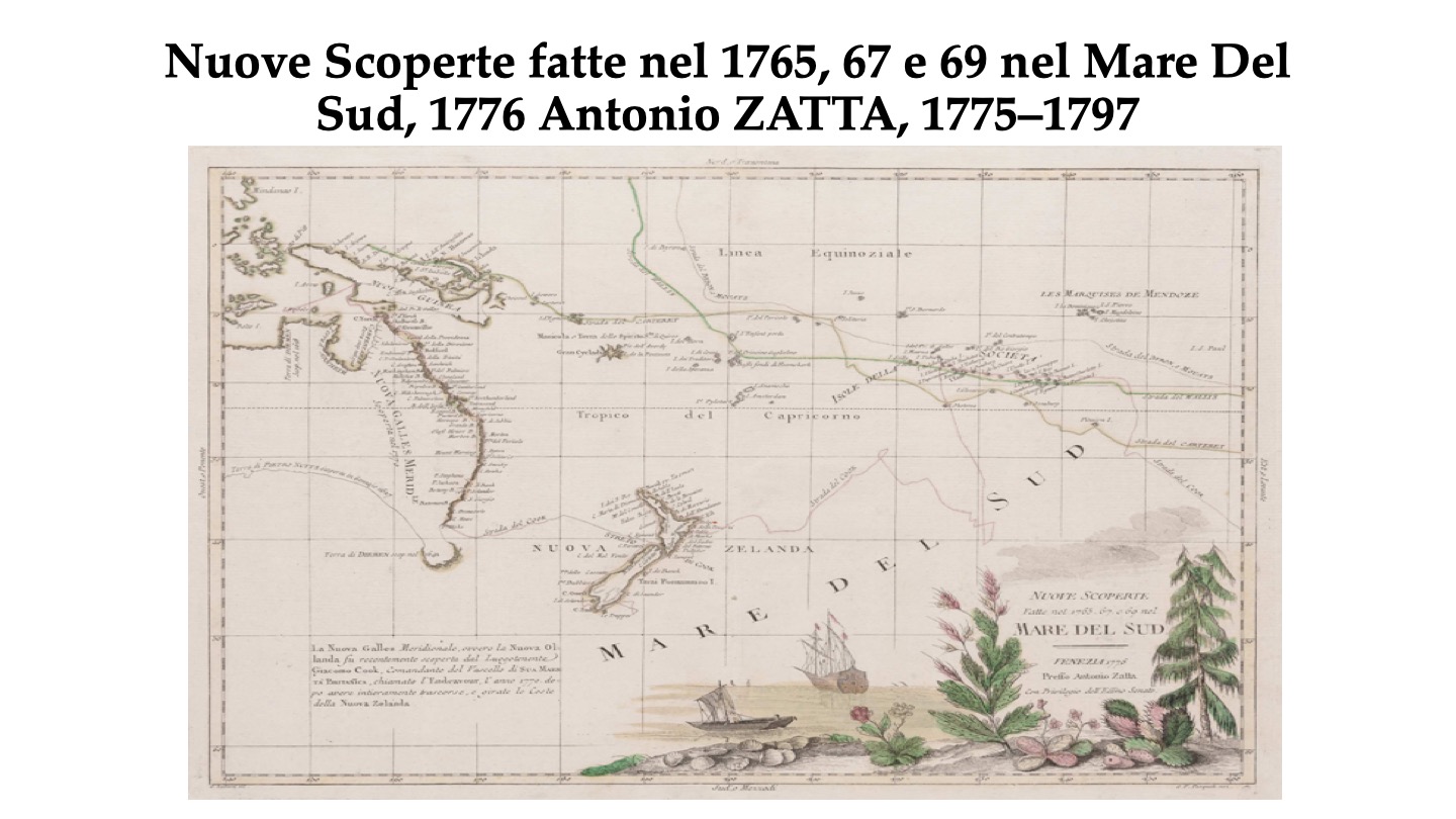
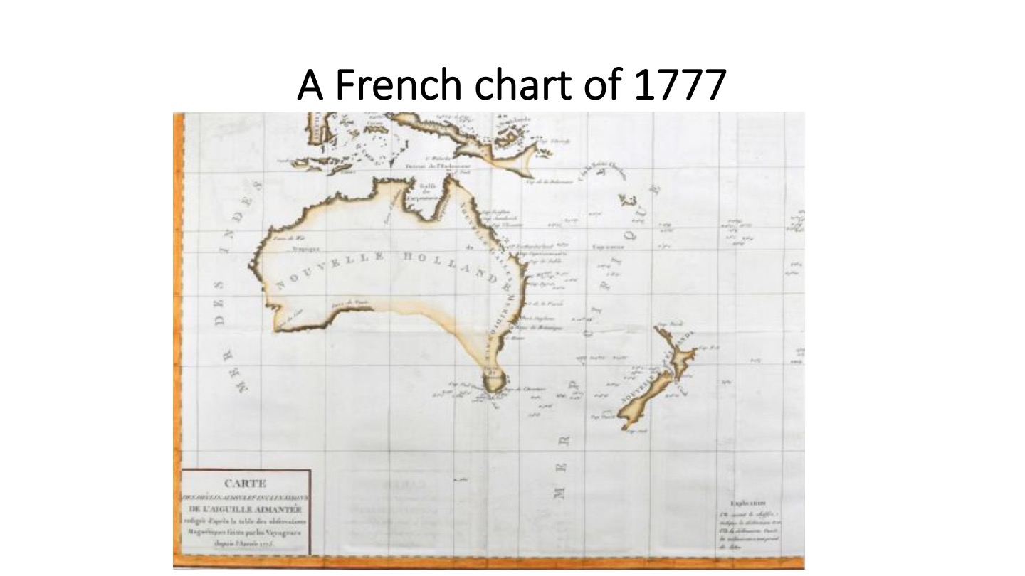
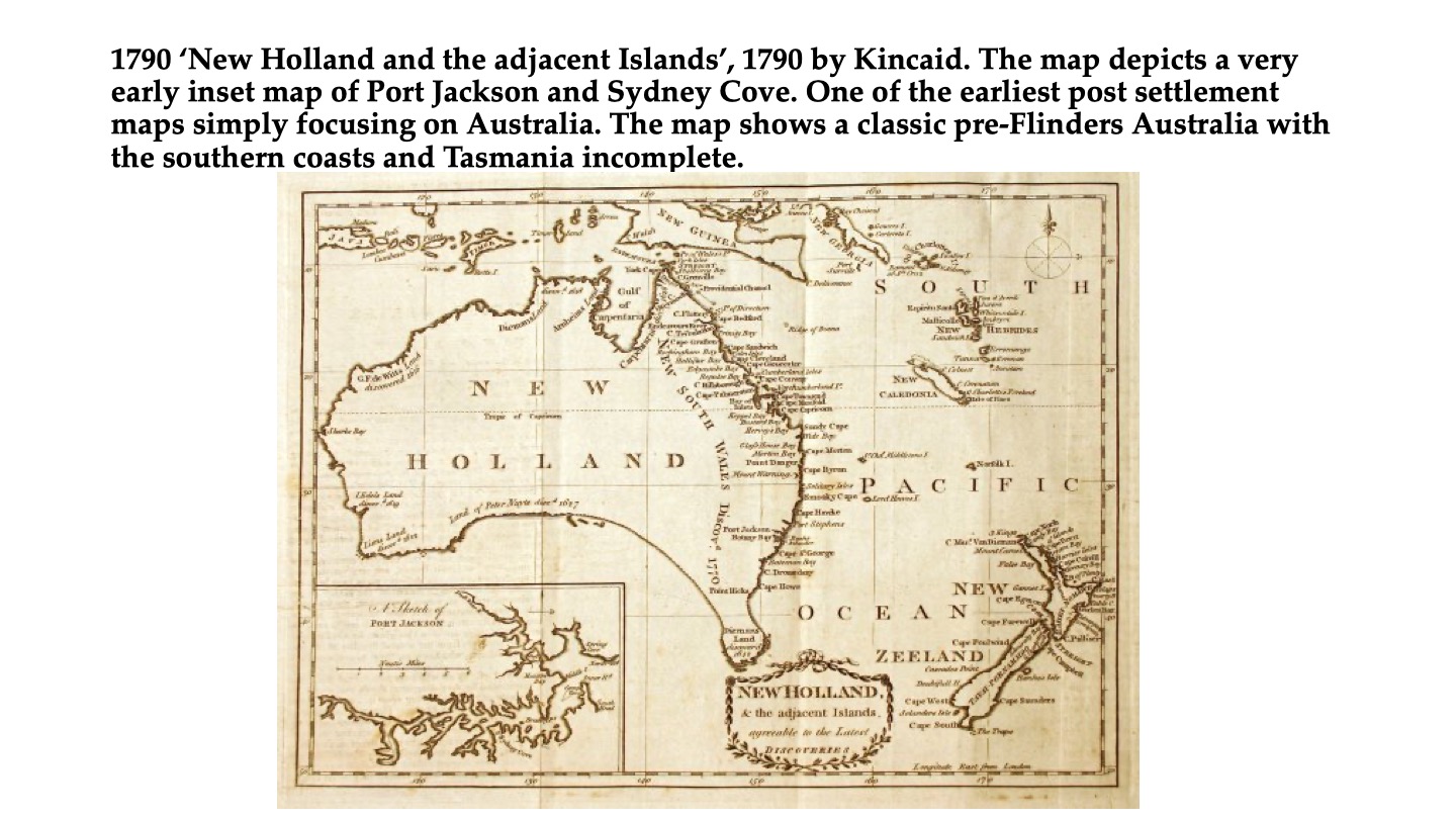
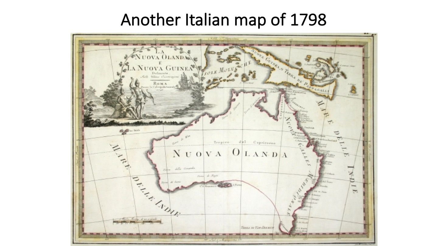
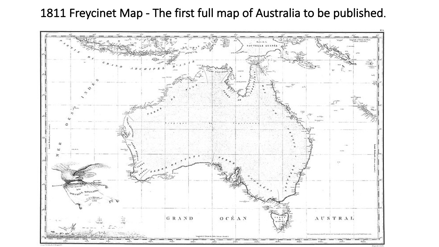
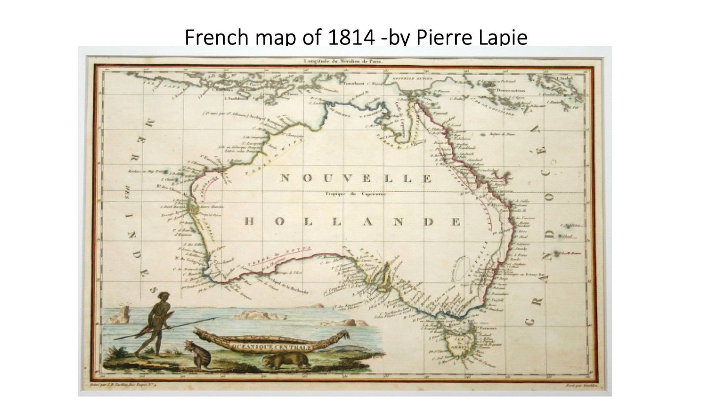
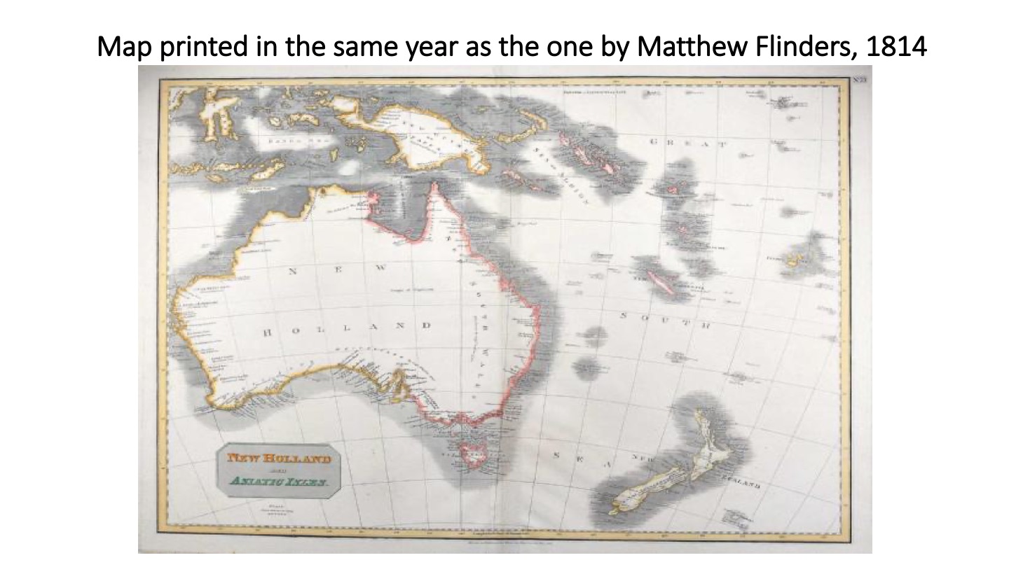
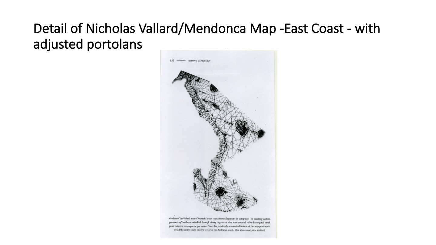
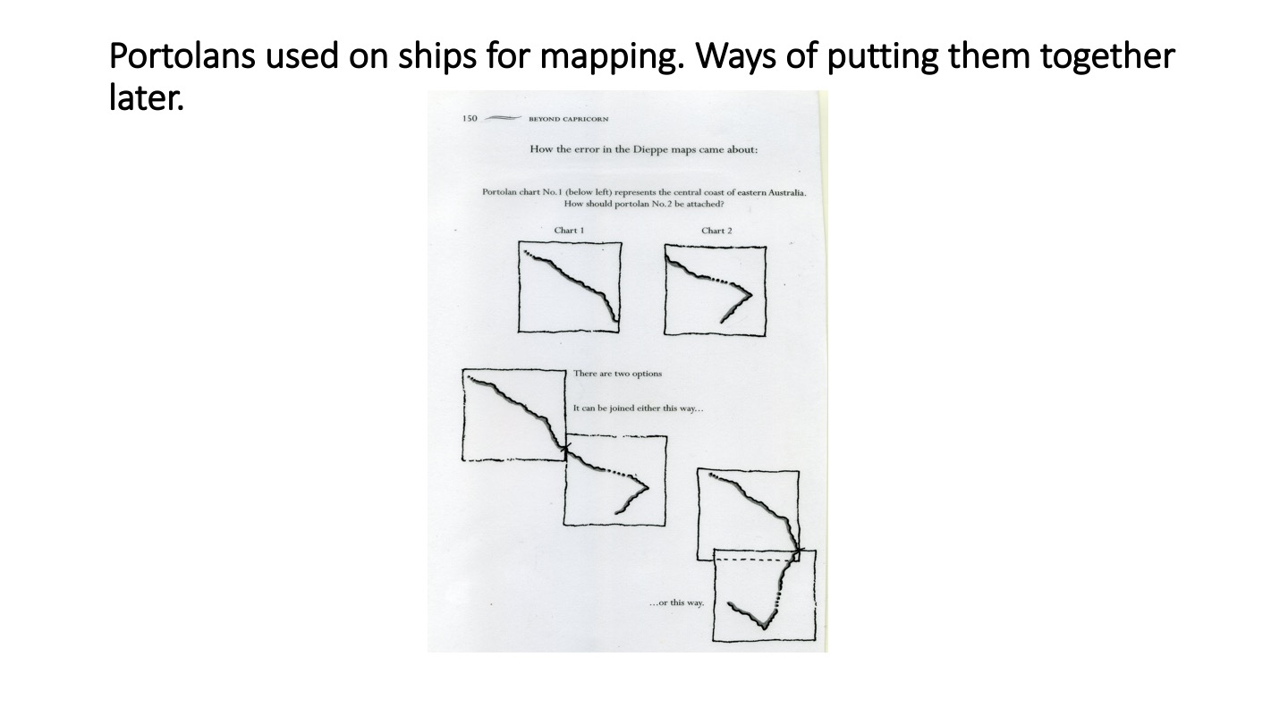
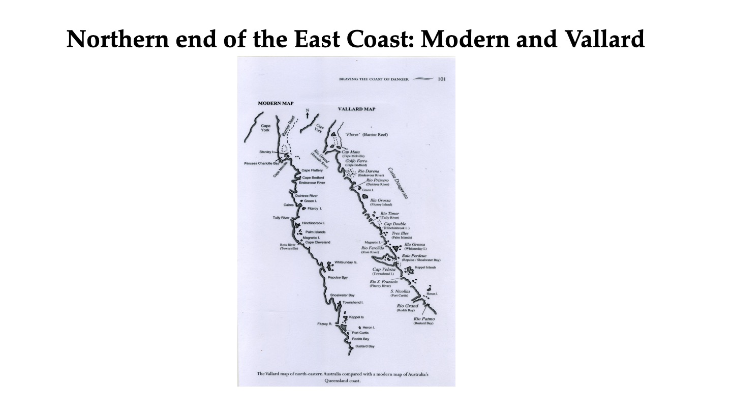
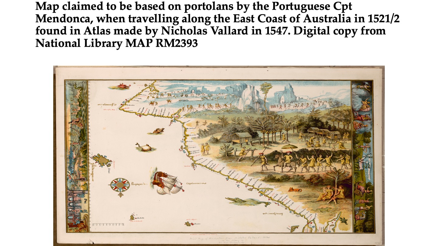
Historical maps relevant to the mapping of Australia from 1521 onwards to 1814 by a great variety of European mapmakers. Most of these maps are digitally available from the National Library, Canberra. The final maps in this series are based on the map (s) by Nicholas Vallard (“Atlas”, 1547), based on likely Portuguese visits to the East Coast of Australia in 1521/22 (by Mendonca). They have been discussed in detail by Peter Trickett in a very convincing book entitled “Beyond Capricorn”, 2007 published by East Street Publications, Adelaide. Trickett was highly critical that the Vallard maps were not displayed at the historic exhibition of old maps in Canberra in 2013/2014. He demonstrated personally in front of the Library protesting against their exclusion.
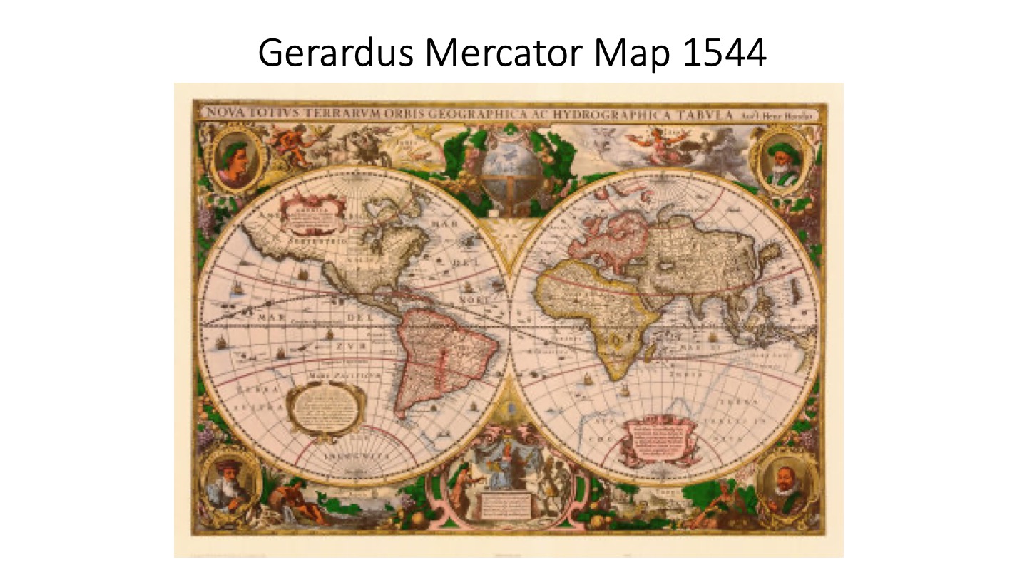
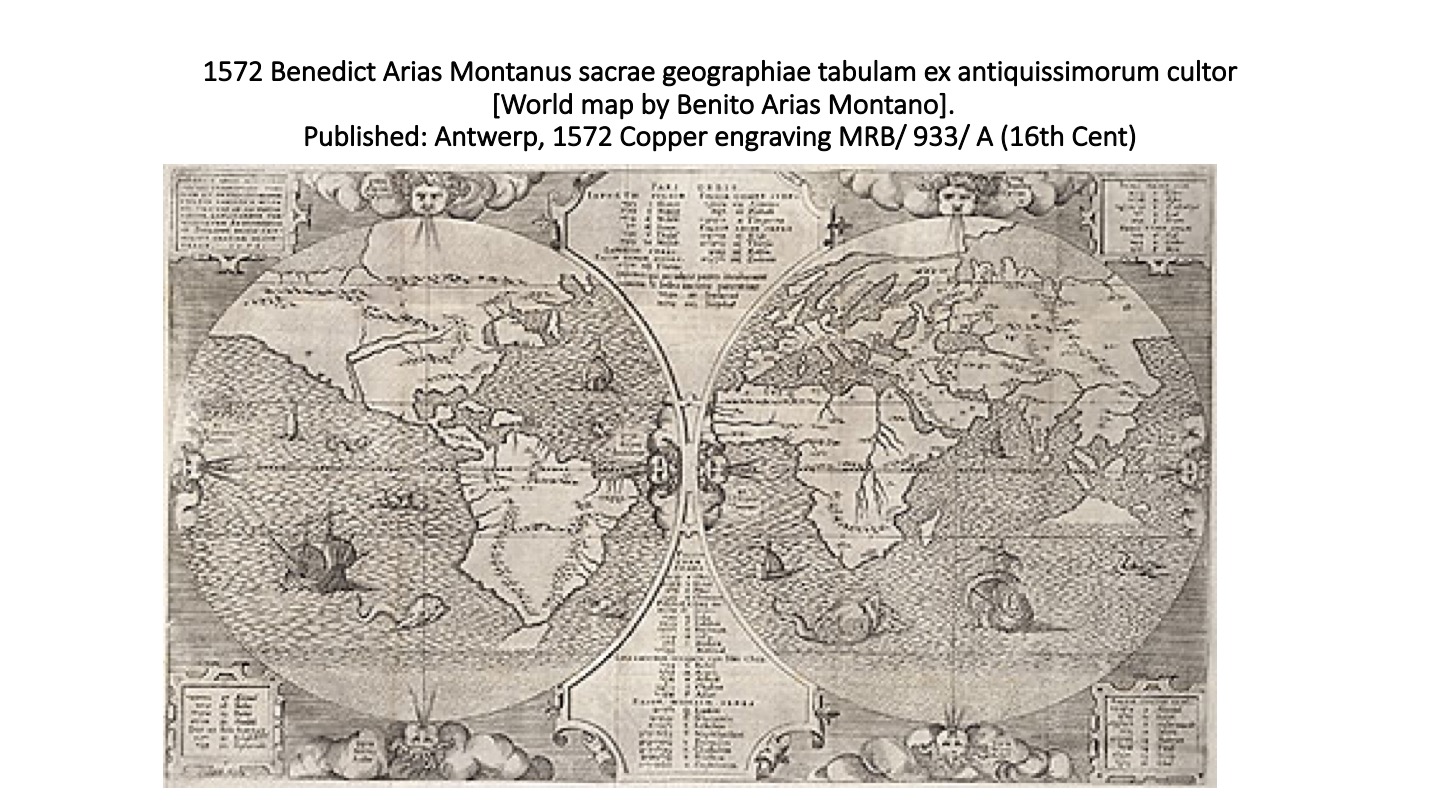
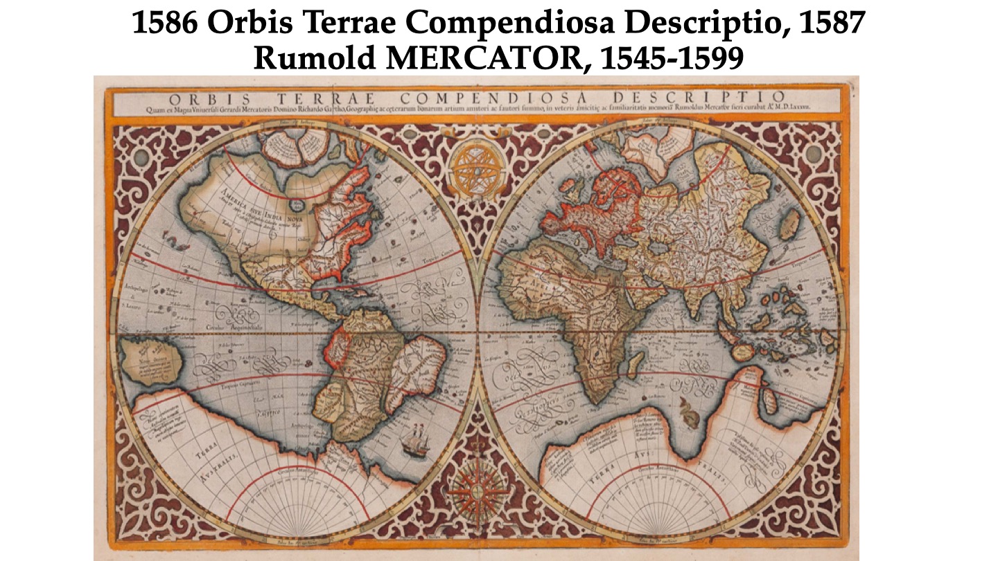
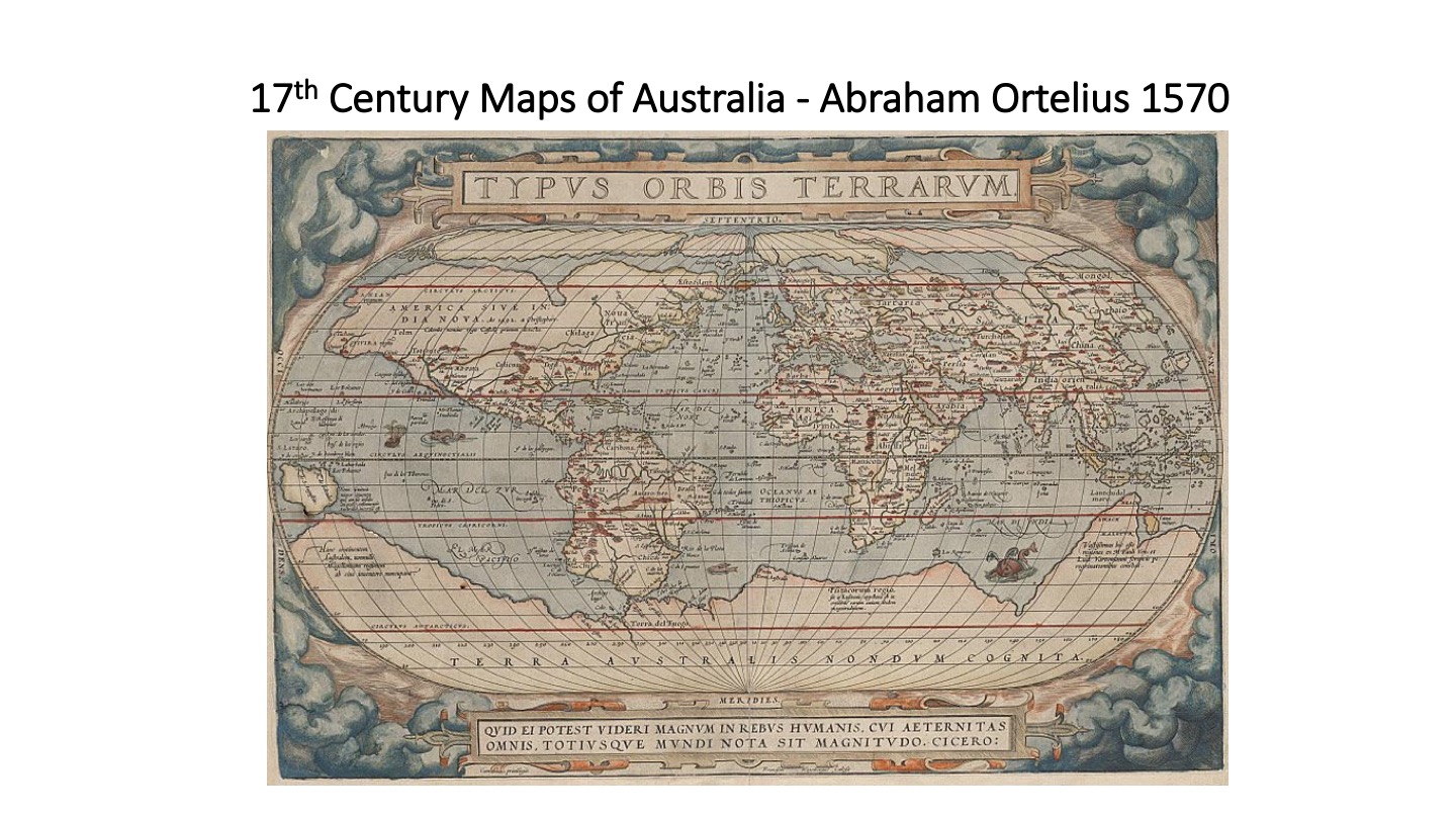
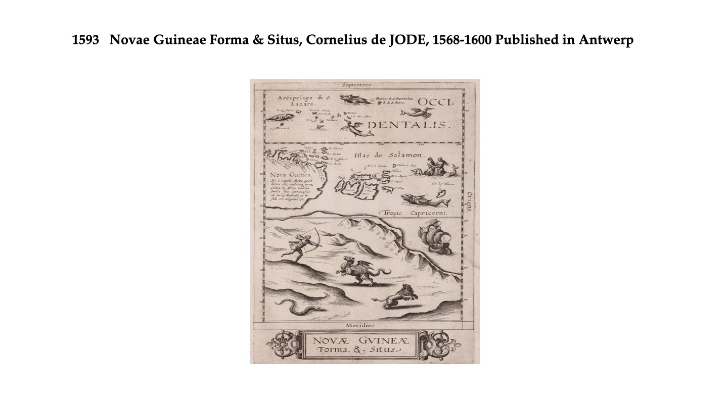
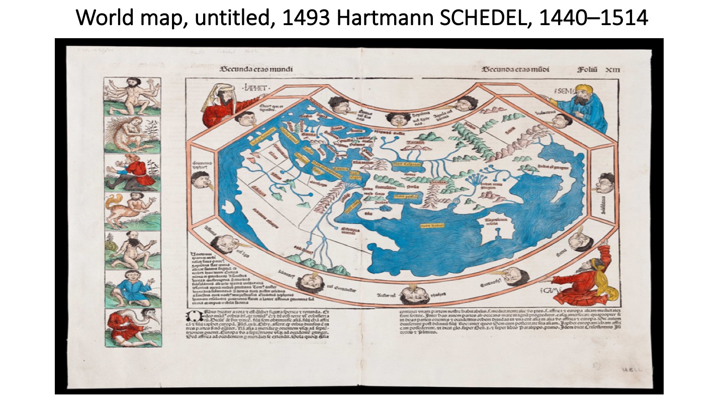
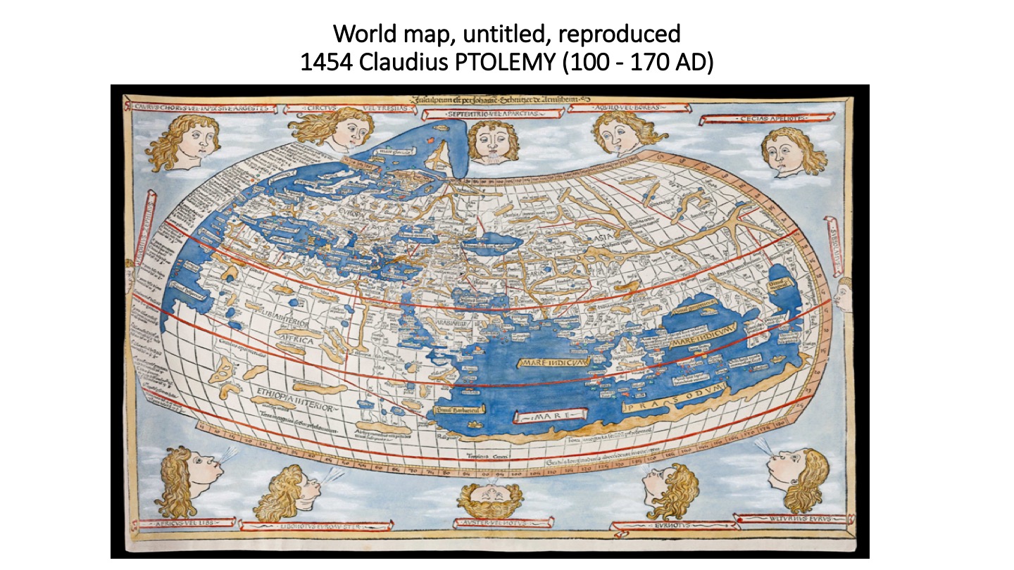
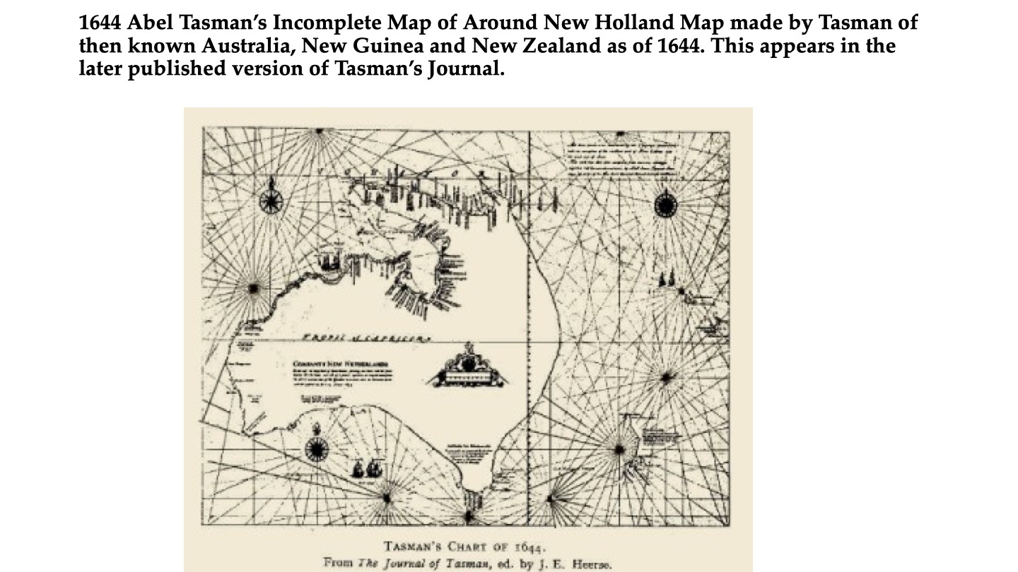
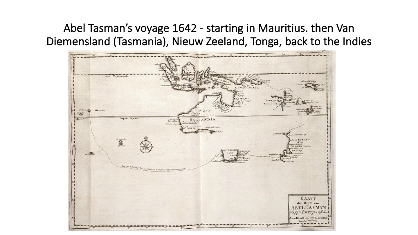
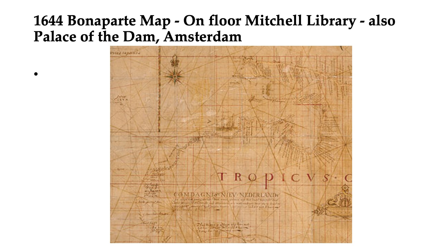
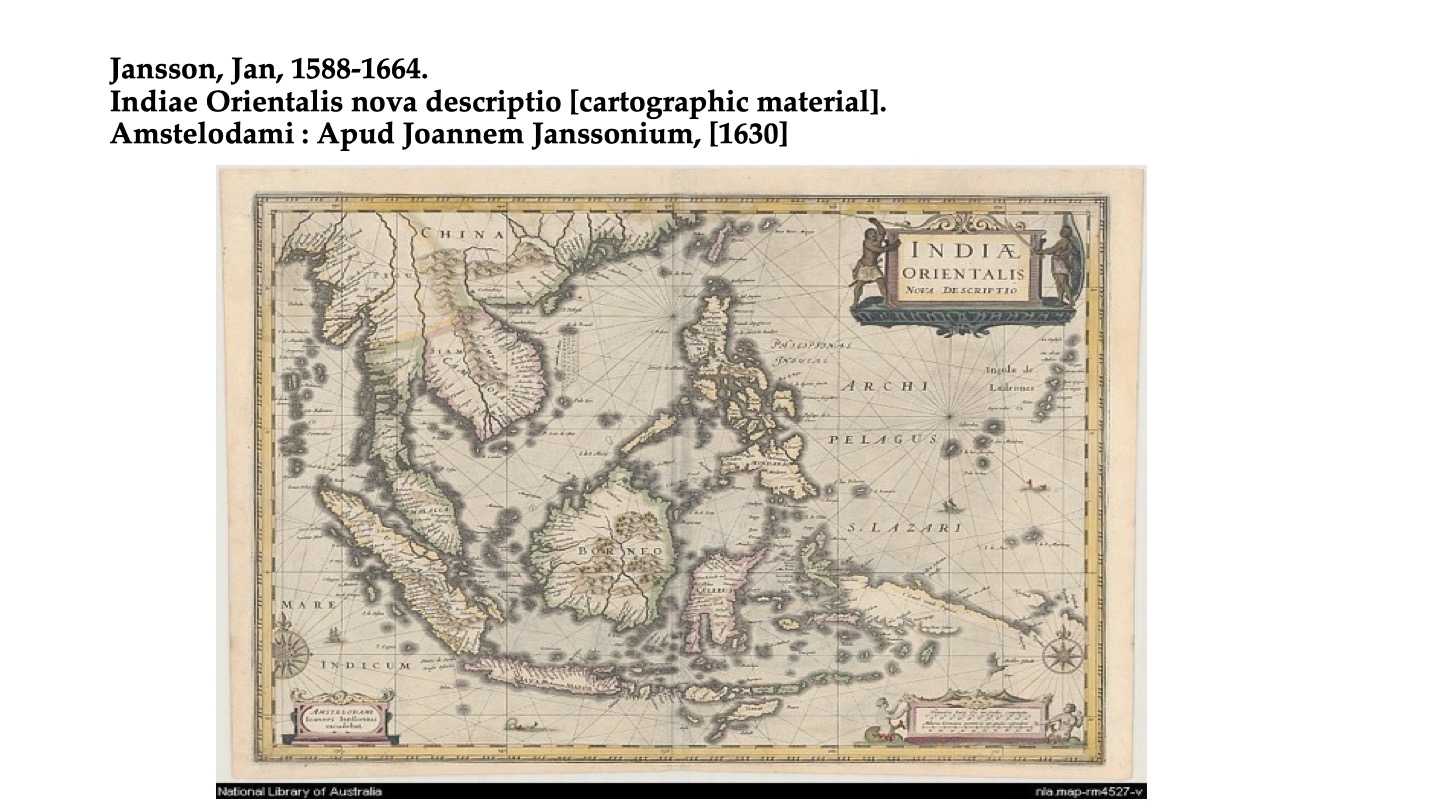
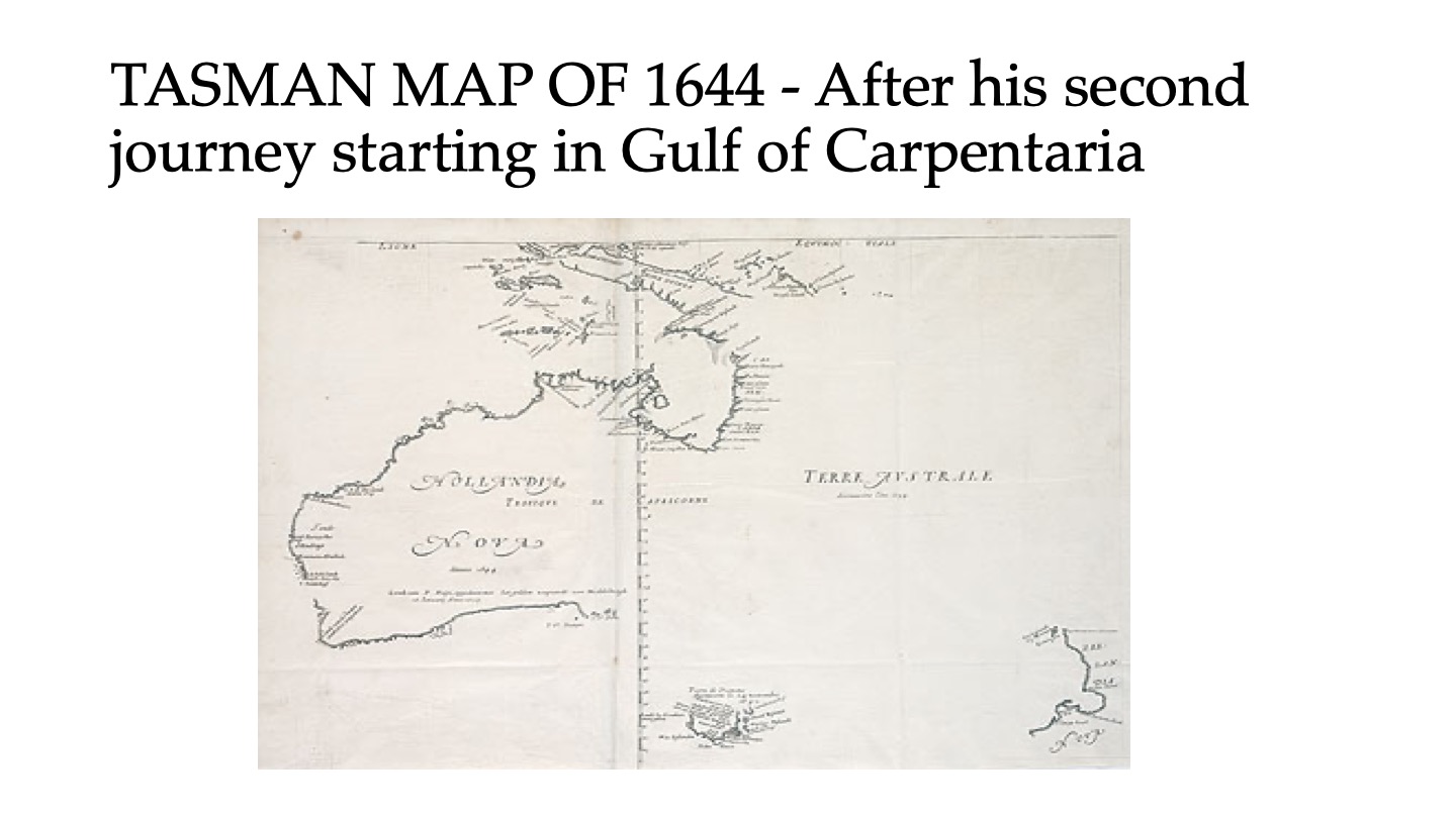
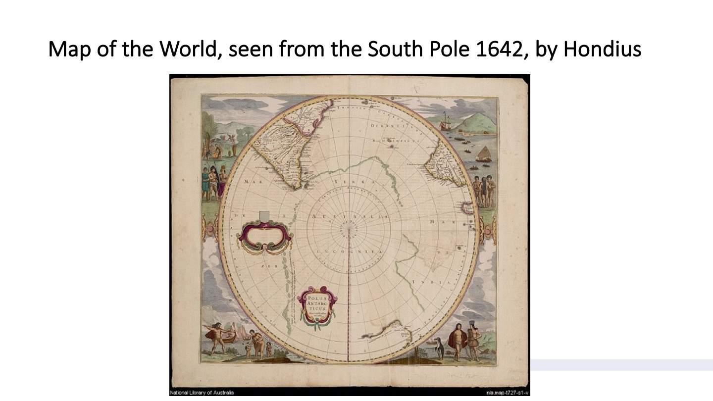
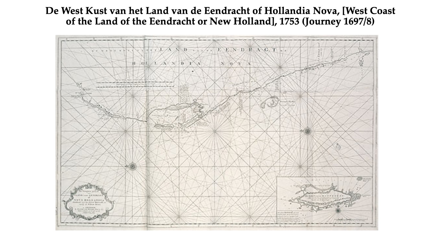
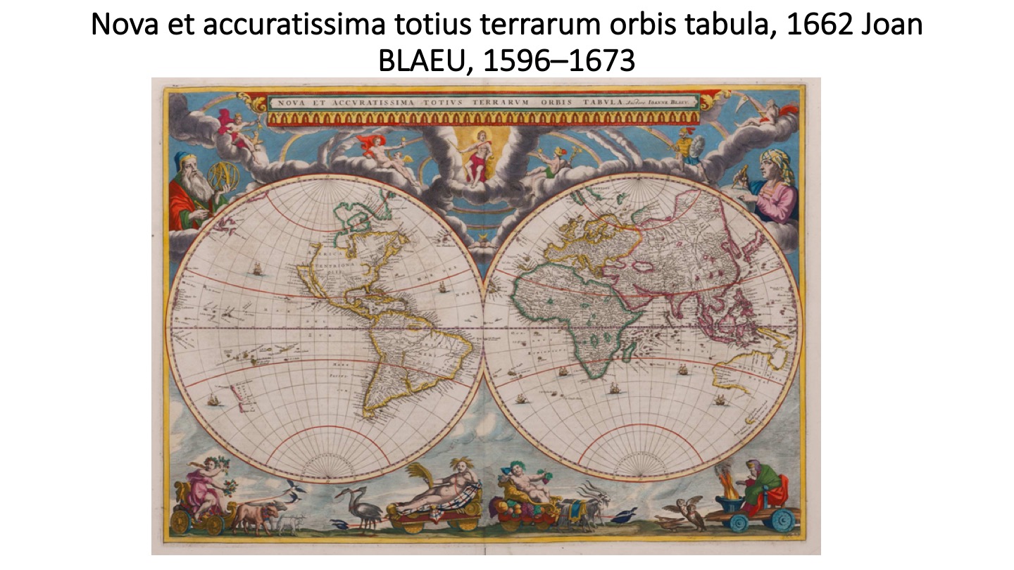
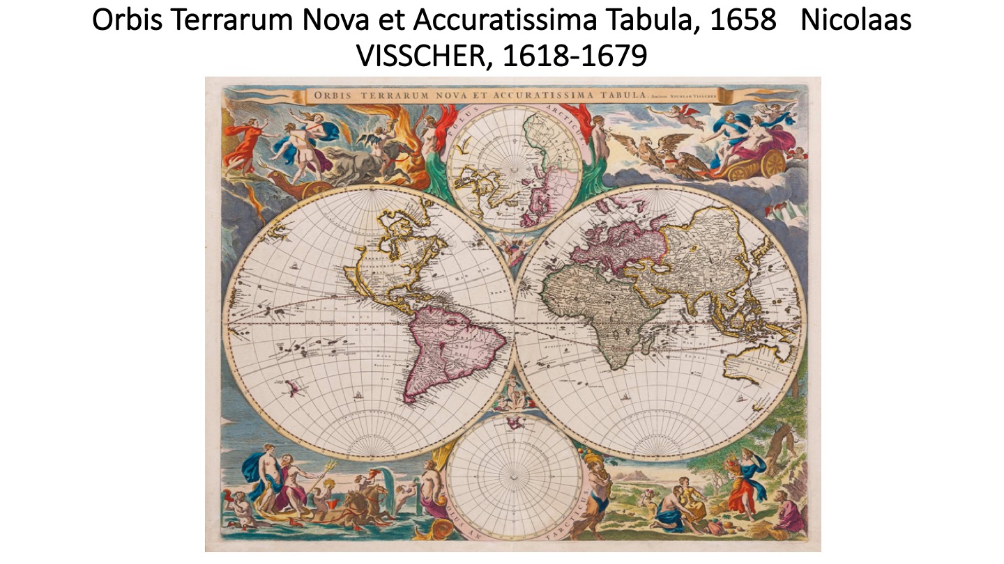
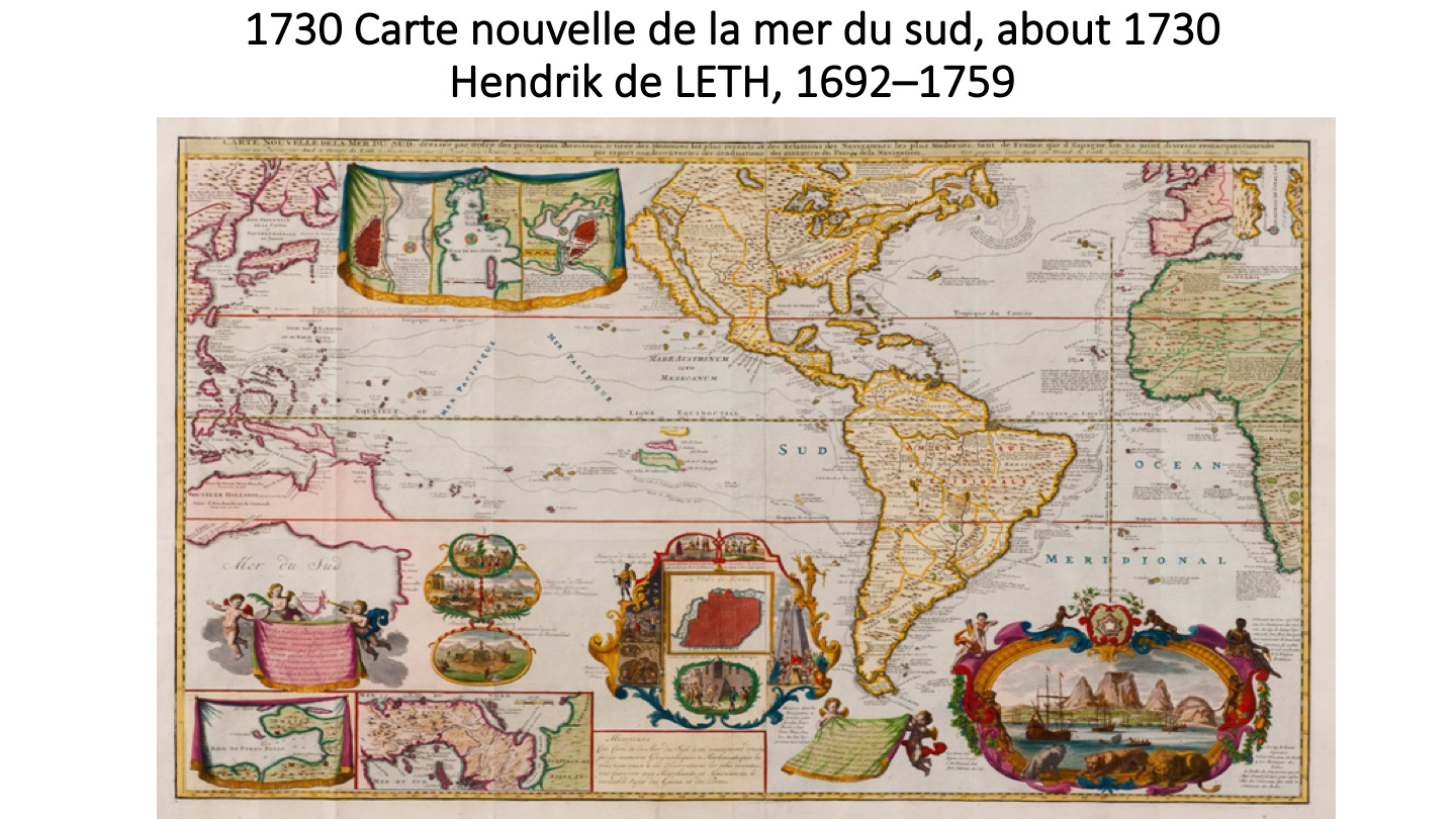
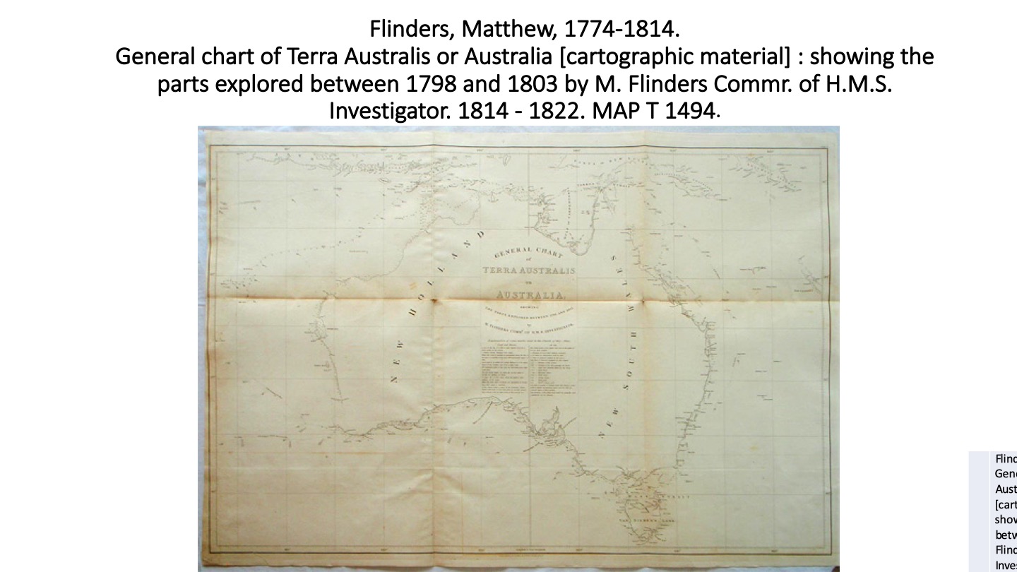
Original Abel Tasman Map 16th-century geographer, cosmographer and cartographer from the County of Flanders.Rumold Mercator from Flanders was a cartographer and the son of cartographer Gerardus Mercator.Abraham Ortelius was a Brabantian cartographer, geographer, and cosmographer, conventionally recognized as the creator of the first modern atlas,.Cornelis de Jode was a cartographer, engraver and publisher from AntwerpGerman historian, physician, humanist, and one of the first cartographers to use the printing press. Claudius Ptolemy was a mathematician, astronomer, geographer, and astrologer who wrote about a dozen scientific treatises.Historic maps of AustraliaDisplays the results of Dutch explorer Abel Tasman’s two voyages to the southern ocean between 1642 and 1644.Prince Bonaparte once owned this map.Johannes Janssonius was a Dutch cartographer and publisher who lived and worked in Amsterdam in the 17th century.Historic maps of AustraliaJodocus Hondius was a Flemish and Netherlandish engraver and cartographer.Historic maps of AustraliaHistoric maps of AustraliaThe map by Thévenot, Hollandia Nova—Terre Australe in Relation de divers voyages et curieux, is a French version of the chart of Abel Tasman’s discoveries using information from Dutch sources, notably Joan Blaeu’s world map published in 1659.Dutch cartographer born in Alkmaar, the son of cartographer Willem Blaeu.Nicolaes Visscher I was a Dutch engraver, cartographer and publisher.Dutch print artist, etcher, engraver, mapmaker, draftsman, bookseller, art dealer, print publisher, art collector, and naturalist. Italian cartographer and publisher who was based in Venice.Historic maps of Australiaprominent printer in EdinburghHistoric maps of Australia French Navy officer who circumnavigated the earthFrench cartographer and engraver.English navigator and cartographer who led the first inshore circumnavigation of the landmass that is now known as Australia.English navigator and cartographer who led the first inshore circumnavigation of the landmass that is now known as Australia.The theory of Portuguese discovery of Australia claims that early Portuguese navigators were the first Europeans to sight Australia between 1521 and 1524,Portolan (ports) charts are nautical charts, first made in the 13th century in the Mediterranean basin. Historic maps of AustraliaThe theory of Portuguese discovery of Australia claims that early Portuguese navigators were the first Europeans to sight Australia between 1521 and 1524,
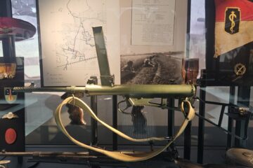
Among the many fascinating objects in the collection of the Bronbeek Museum is an Australian-made Owen Mark I submachine gun. At first glance it appears to be simply another weapon of the Second World War. Read more
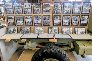
Among the many military establishments that operated in Queensland during the Second World War, few have faded from public memory as completely as the School of Military Intelligence at Southport on the Gold Coast. Yet Read more
One of the most significant collections relating to the Dutch presence in Australia during the Second World War can now be found at the Northern Rivers Military Museum in Casino, New South Wales. The museum Read more